Skip to content
Carriers and Turf Vendors
- Data transformation tool to electronically manage all critical information
-
Simplified process for expedited decision making and application processing
-
High Definition Images for desktop engg.
-
Customized exports and imports from third party systems to eliminate manual entry errors and reduce time
-
Project management tool can be customized based on user roles
Electronic Data collection
Process Efficiency
- Electronic data collection and management reduces time increases accuracy increases accuracy
-
Make ready calculations using pre-defined algorithms for precise results
-
Site Survey one time with only one person (no more follow up site visits with RF, Power, Telco)
-
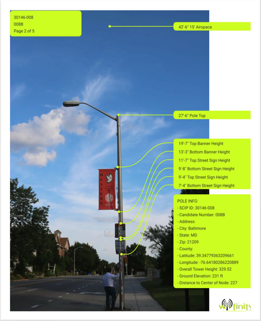
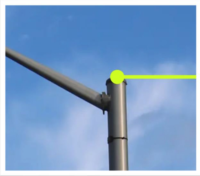
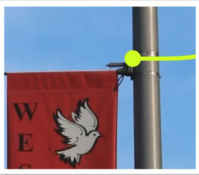
High resolution photo quality capture allows precise pole measurements and equipment information
-
Images gathered provide a full view of surrounding area to minimize re-trips based on engineering or equipment design changes
-
The amount of data that can be collected is limitless and customizable to meet the customers needs
Expense Reduction
- Data is collected and stored in Project Mgmt. database for viewing real time-reducing time and expediting the review process
-
Data can be exported to feed License Application Forms and DOT Permits-Eliminates data entry errors and reduces processing times.
-
Multiple output formats can be created to feed in-house customer systems eliminating “swivel chair” data entry
-
Cloud based App allows users to perform updates remotely
Candidate Selection
Simplified SARF
- RF Coverage Radius, Heat Map or multiple rings – not specific pole
-
Identify any special coverage needs/objectives
-
Additional poles/locations/surrounding areas can be captured with minimal incremental time or spend
Ease of Candidate Review
- Data collection is customizable.
-
All potential candidates provided in simple summary Google Earth view
-
Candidate photo’s and surrounding area photo’s captured in easy to view thumbnails
-
Sites can be color coded based on Ranking


